業主:揚州市規劃局
項目地點:江蘇省
建設規模:揚州市中心城區
項目週期: 2016年6月 – 2016年12月
服務內容:規劃研究
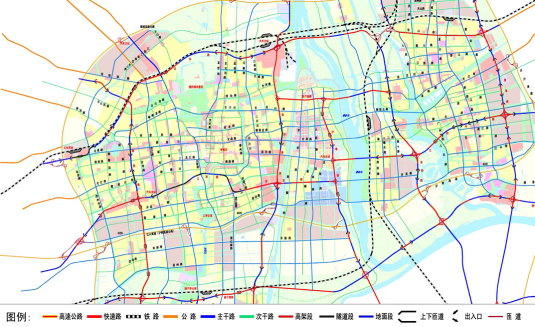
爲更好地提升揚州市快速路網規劃落地性,將路網線位走向、互通節點形式及佔地範圍及時反饋至在編的城市總體規劃,加強交通規劃和用地規劃的匹配融合,特開展快速路網控地規劃研究。主要創新點有兩個方面,一是規劃控制快速路斷面形式、節點形式及出入口佈局等,形成設計概念方案,促進交通與用地的可持續發展。二是充分考慮用地條件、地形條件、與周邊建築的關係及地下管廊設施等因素,對規劃道路紅線、中心線、橫斷面等進行復核和完善。根據相交道路的數量、等級、交通特徵以及周圍用地佈局、地形特點等,開展節點及路段的用地控制規劃研究,成果達到控制性詳細規劃深度。